
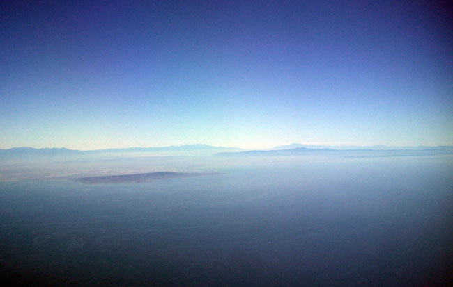

1. Sidewise view of greater LA/OC showing Palos Verdes in the foreground with (from left) Mt. San Antonio and Mt. Harwood, Anderson Peak, San Gorgonio Mountain, San Jacinto Peak, Modjeska and Santiago Peaks (aka Saddleback mountain).
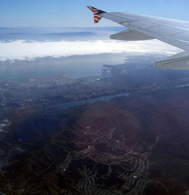
2. View after takeoff showing the bay and SFO to Pacifica and PCH (lower left).
3. The bay, creeping fog and the Crystal Springs Reservoirs.
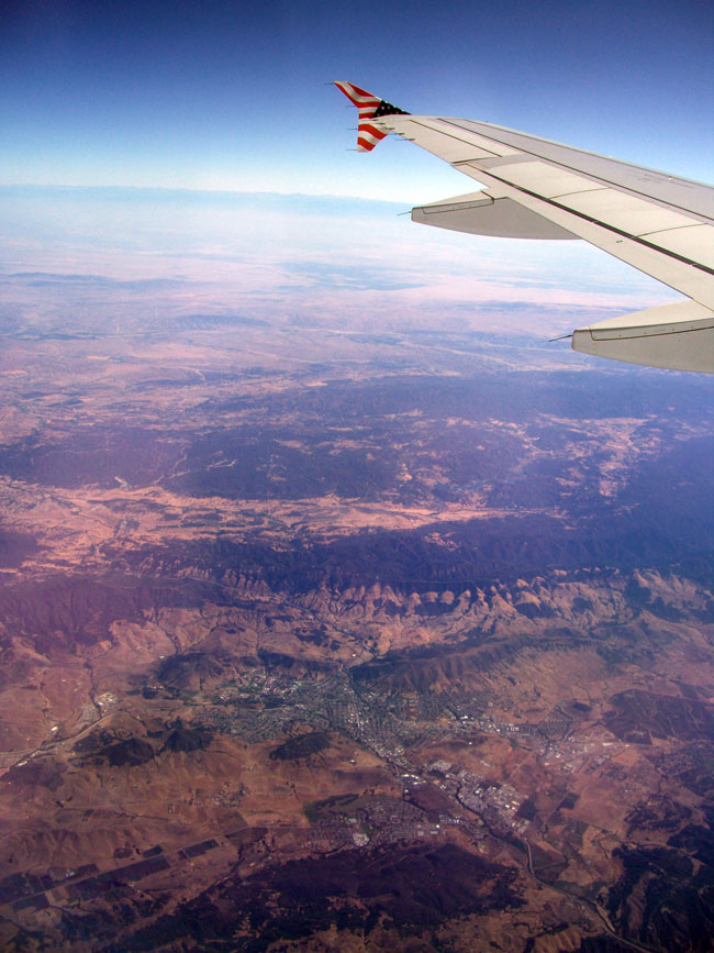
4. View over San Luis Obispo to the Sierras.
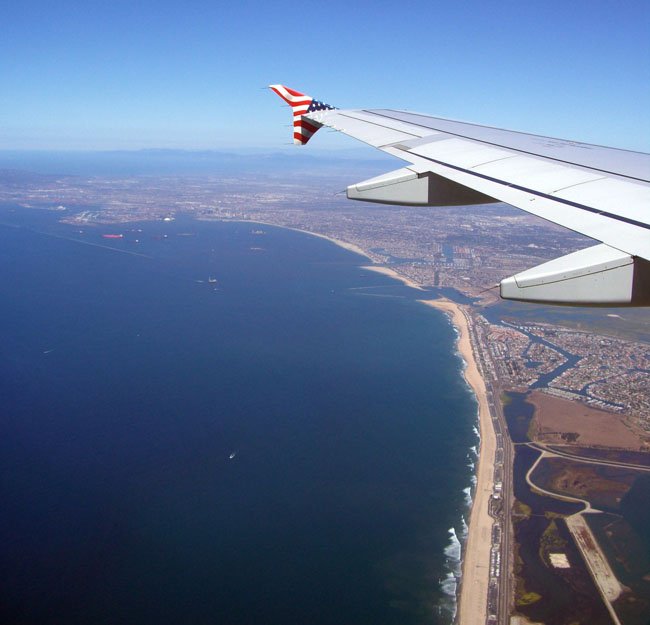
5. Landing approach showing the Pacific coast from Bolsa Chica to Long Beach.
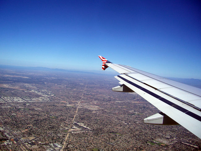
6. Former Pacific Electric right of way cutting through the sprawl.
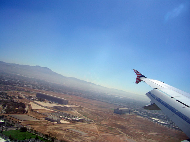
7. Saddleback and the Tustin MCAS airship hangars. Landing.
_
No comments:
Post a Comment